Recent Posts
Monthly Archive
- May, 2014 (1)
- February, 2014 (3)
- February, 2013 (3)
- January, 2013 (3)
- December, 2012 (1)
- September, 2012 (1)
- April, 2012 (1)
- February, 2012 (2)
- October, 2011 (1)
Workshop on GIS applications
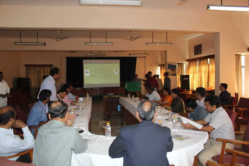
At the request of the Karnataka State Forest Department, the Asian Nature Conservation Foundation (ANCF), conducted a GIS applications training workshop at Mysore .The objective of the workshop was to provide spatial awareness skills for field based forest officials of the department.
Mr.Avinash KG , GIS specialist of ANCF , conducting a session at the workshop.
The workshop was conducted over a two day period ( 3 – 4 , February 2012 ) and was attended by forest officials from the Mysore , Chamrajnagar , Coorg , Mandya and Hassan Circles as well as from the Bannerghatta National Park , BRT Tiger Reserve , Rajiv Gandhi National Park ( Nagarhole ) and PT Division , Bandipur National Park. In addition to the officials from the field, the GIS specialist from Aranya Bhavan, Bangalore and the GIS staff from the Project Elephant Office at Mysore also attended the workshop. The workshop was conducted by ANCF specialists Dr Narendran Kodandapani, Sr Scientist, Dr Avinash KG, GIS Specialist, and Mr Surendra Varma, Sr Scientist, ANCF.
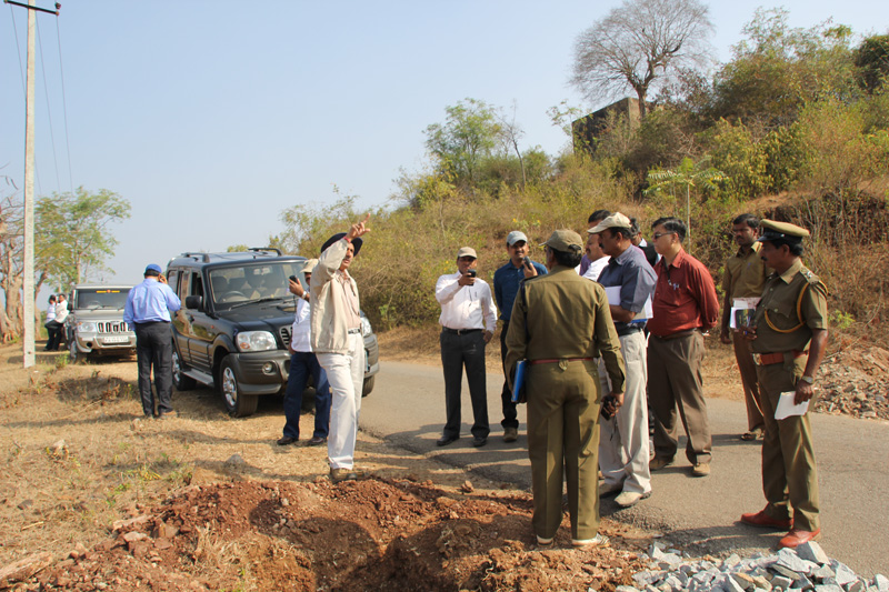
The workshop had both classroom and field based sessions and the participants were exposed to a range of skills, from reading spatial datasets, performing simple GIS operations and hands on training on field based collection of relevant data and its incorporation into GIS frameworks for presentation and analysis. In both the classroom and field based sessions there was a special focus on the problems of human – elephant conflict in the Mysore Forest Division. In addition the participants were provided training in the use and application of the open source software – Quantum GIS (QGIS).
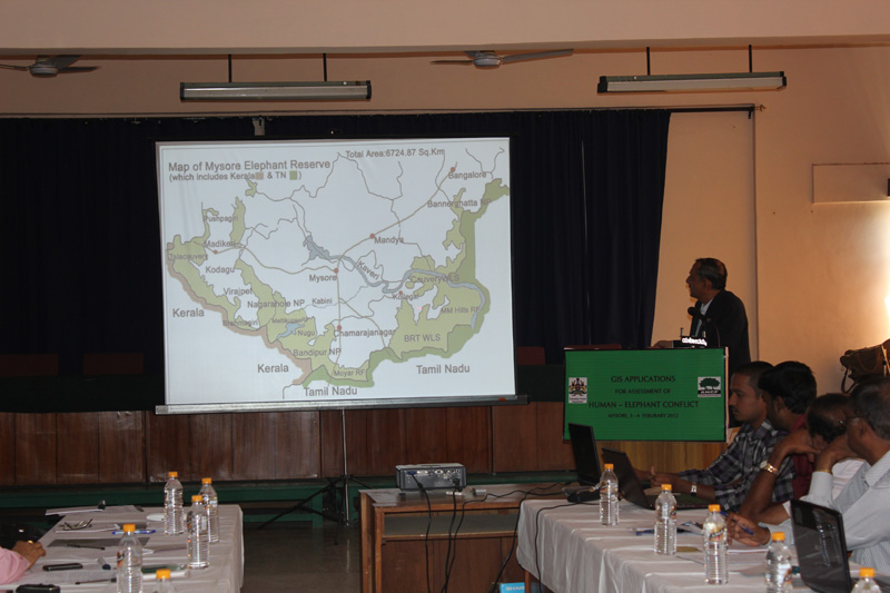
Mr.Ajay Misra IFS , Chief Conservator of Forests & Field Director Project Elephant Karnataka , giving a presentation on Human - Elephant Conflict in Karnataka.
A Manual on the use of QGIS was prepared by ANCF and provided to the participants for their future reference. The PDF file of the manual ‘Guide to QGIS for Forest Management ‘is available for download from the Resources section of this website.
A feild session in progress in the Mysore Forest Division.
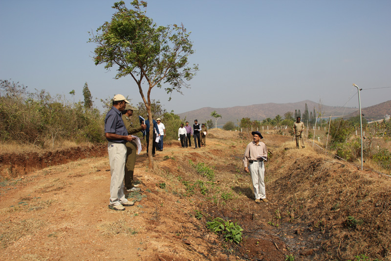
Maping an Elephant Proof Trench and Electric Fencing using a GPS in the Mysore Forest Division.


Post new comment